
Open the landmarks map · All collectibles
Find a scan by name (31)
- Aqua Stadium
- Badger R&D Tower
- Belpoint Lighthouse
- Bobcat Key Experimental Home
- Bonanza Giant
- Courtland Park Stadium
- Derelict Spy Vessel
- Dock Ring
- Downtown Periscope
- Farmer Scrumpy's Apple Orchard
- Fleeca Field
- Gellhorn Fun Fair
- Grayson Cairns
- Hoffman Observatory
- Howe Dairy Farm's Big Udder
- IAA's Friends of Freedom
- Kalaga Lookout
- Lawton Co. Paper Mill
- Old Goliath
- Outlaw's Cabin
- Pelican Valley Observation Tower
- Riquezas Keys Radome
- Sahara Arena
- Sky Ride
- St. Lucia Lighthouse
- Tallaloko Amphitheater
- Thicc Herbie
- Tucker's Citrus Farms Water Tower
- Unidentified Building
- Vice City Sign
- Wild Hog Point Radar Base
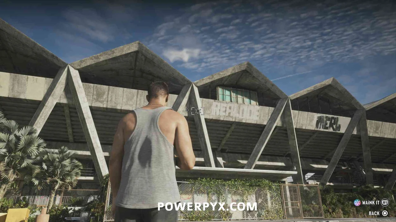
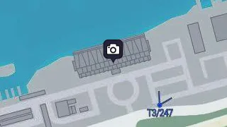
Aqua Stadium
Map reference. East of Courtland Park Stadium.
Scan target. Aim at the long waterfront stadium on Catalan Bay in southern Gloriana Key.
Badger R&D Tower
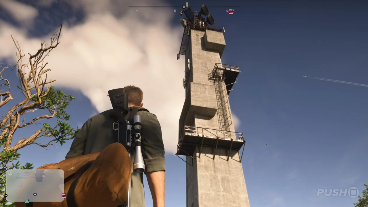
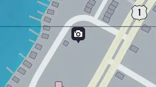
Map reference. Northeast of Thicc Herbie.
Scan target. Aim at the tall concrete research tower on the western side of central Key Lento.
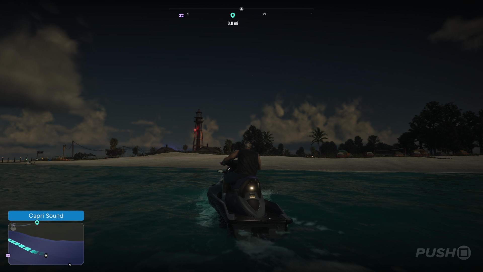
Belpoint Lighthouse
Map reference. Northwest of Bobcat Key Experimental Home.
Scan target. Go to the southern tip of Belpoint and frame the metal lighthouse from the settlement.
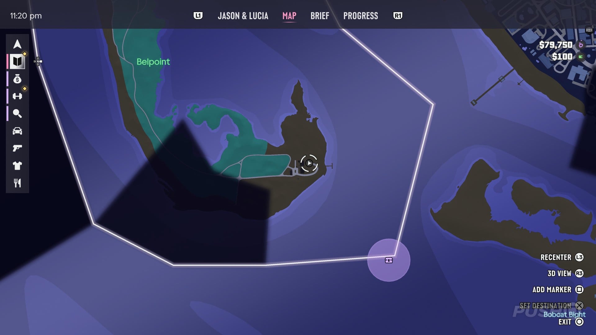
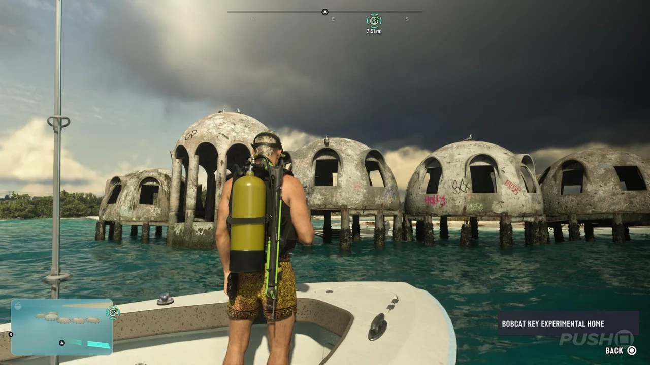
Bobcat Key Experimental Home
Map reference. Southeast of Belpoint Lighthouse.
Scan target. Look offshore for the partially submerged concrete shell of the experimental house. Scan the structure above the water.

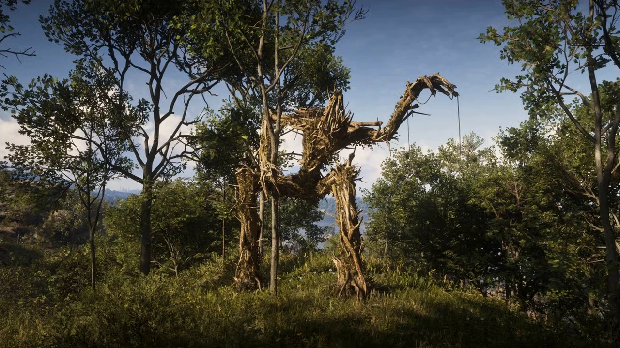
Bonanza Giant
Map reference. West of Outlaw's Cabin.
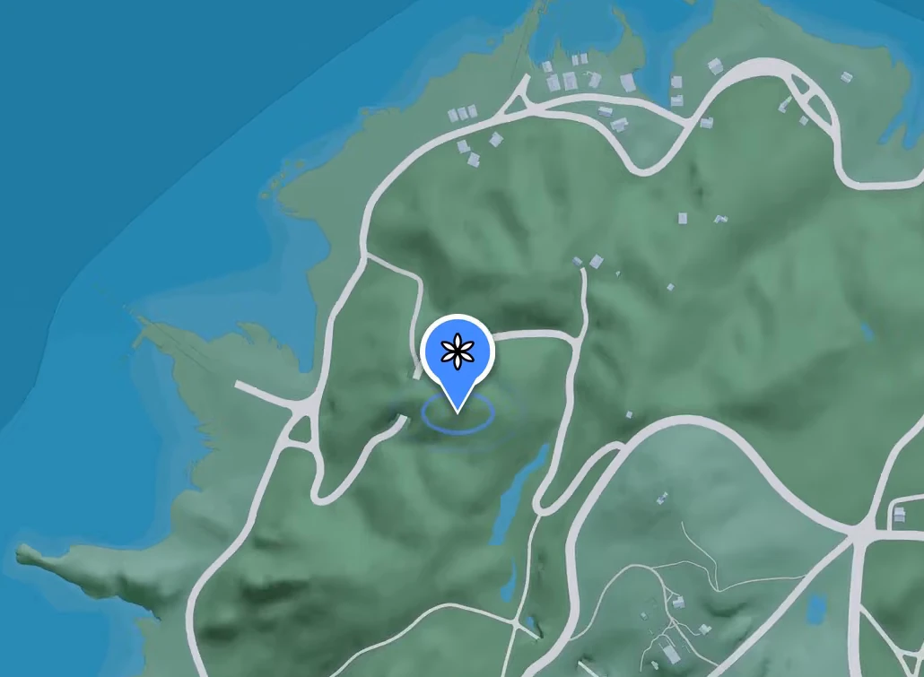
Scan target. Climb the wooded hill in southern Bonanza. From the clearing, face the towering figure made of branches. Frame its body and raised arm in WAiNK, then scan.
Courtland Park Stadium
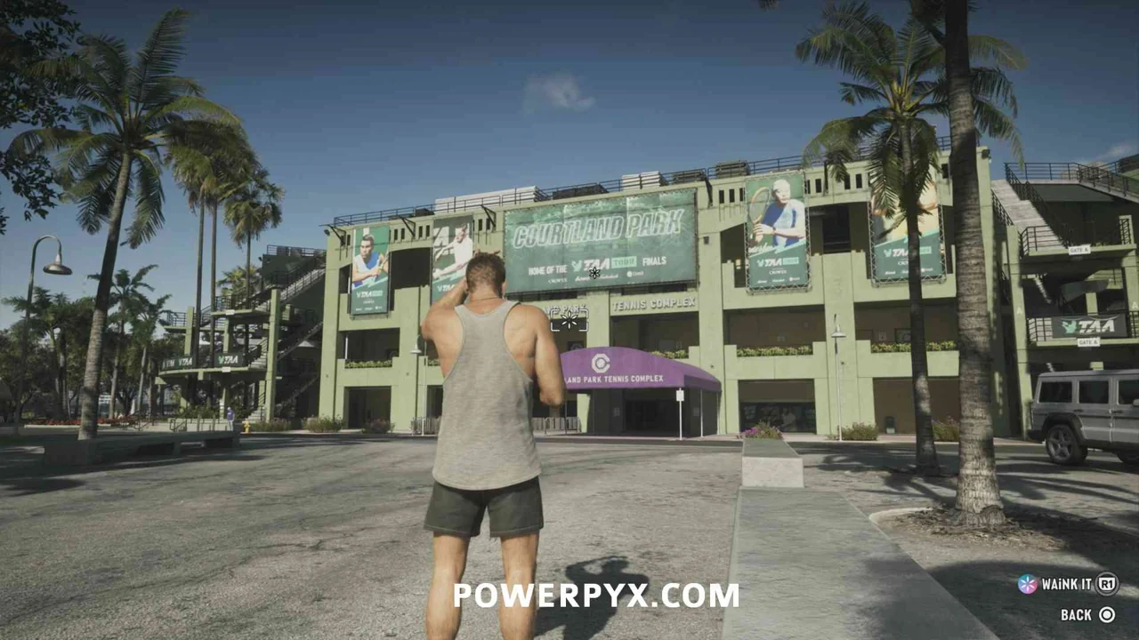
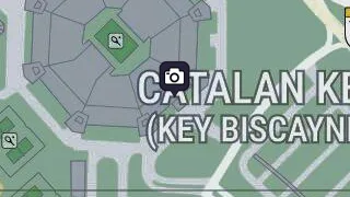
Map reference. West of Aqua Stadium.
Scan target. Frame the stadium building on the main island of Catalan Key.
Derelict Spy Vessel
Map reference. Northwest of Thicc Herbie.
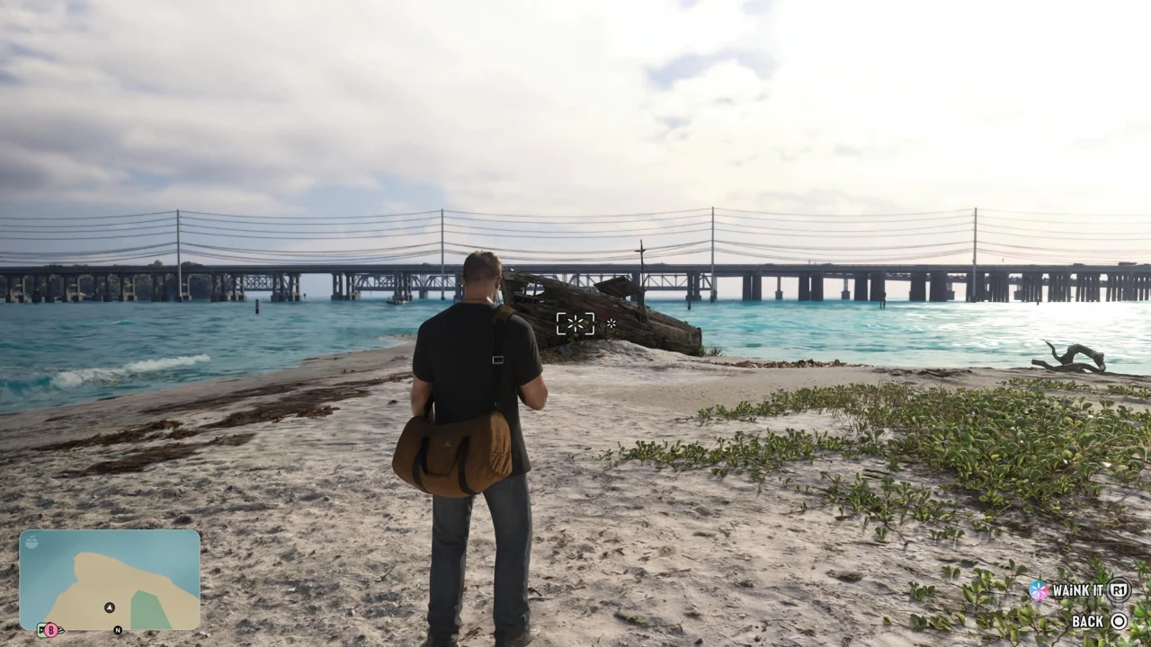
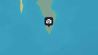
Scan target. Scan the hull of the beached vessel at the southern tip of the southeastern Permit Keys island.
Dock Ring
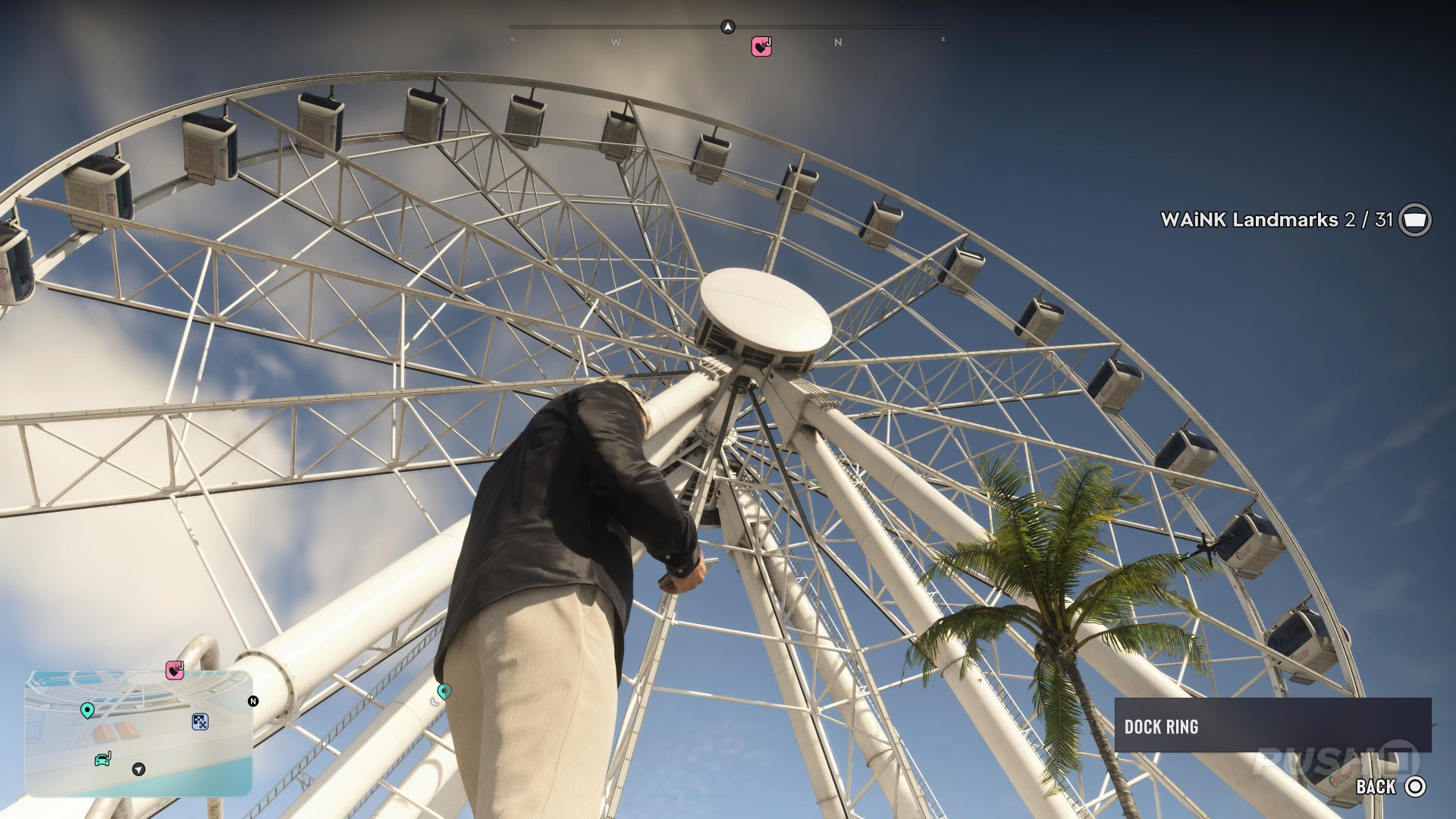
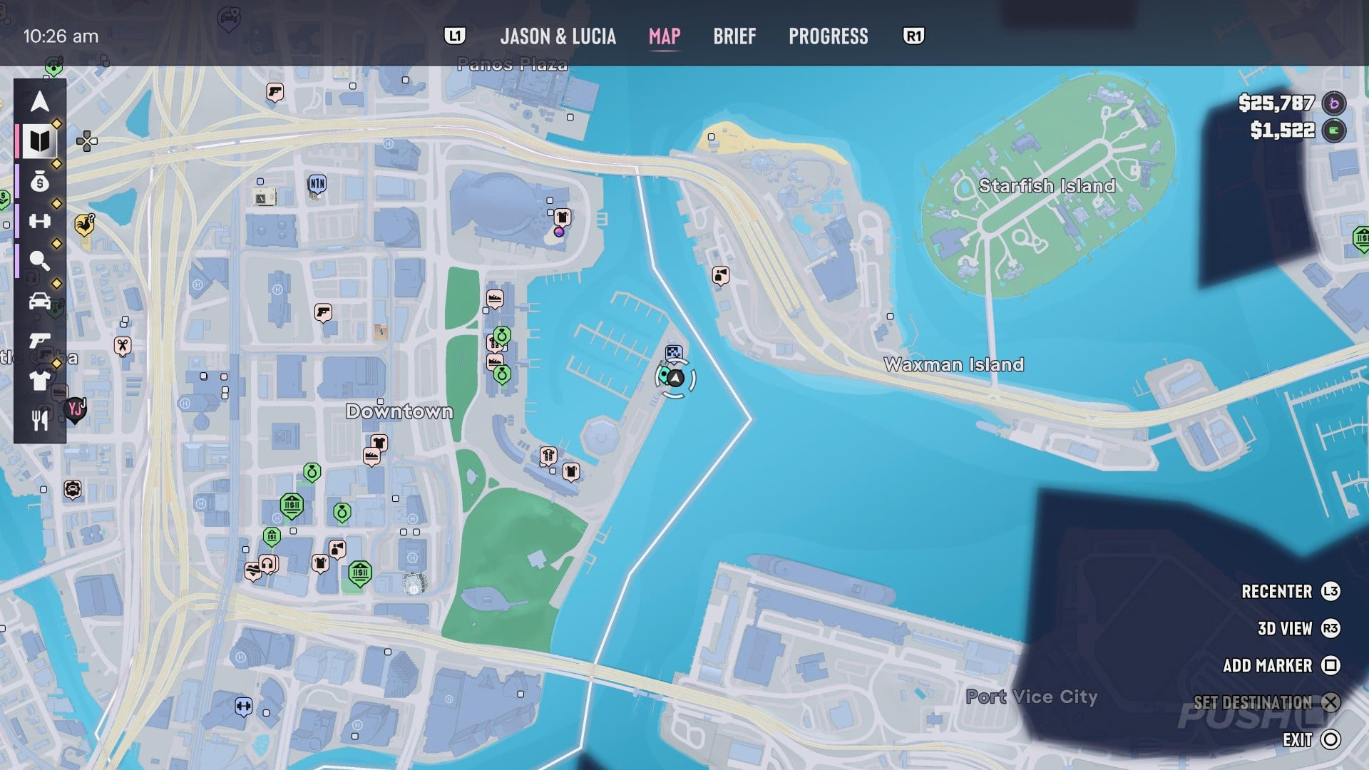
Map reference. Northeast of IAA's Friends of Freedom.
Scan target. Stand on the Downtown waterfront off Catalan Boulevard and frame the observation wheel above the dock.
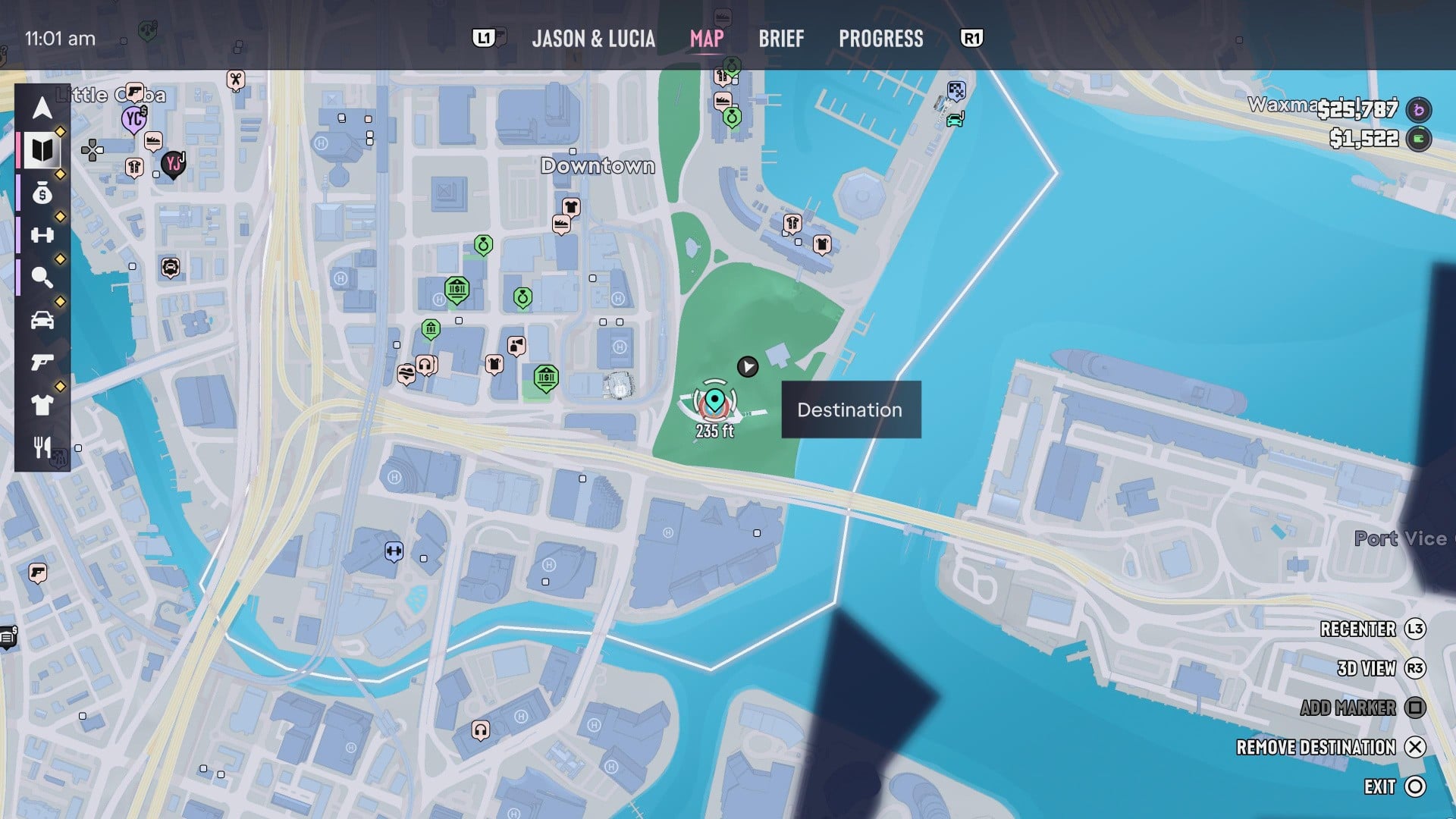
Downtown Periscope
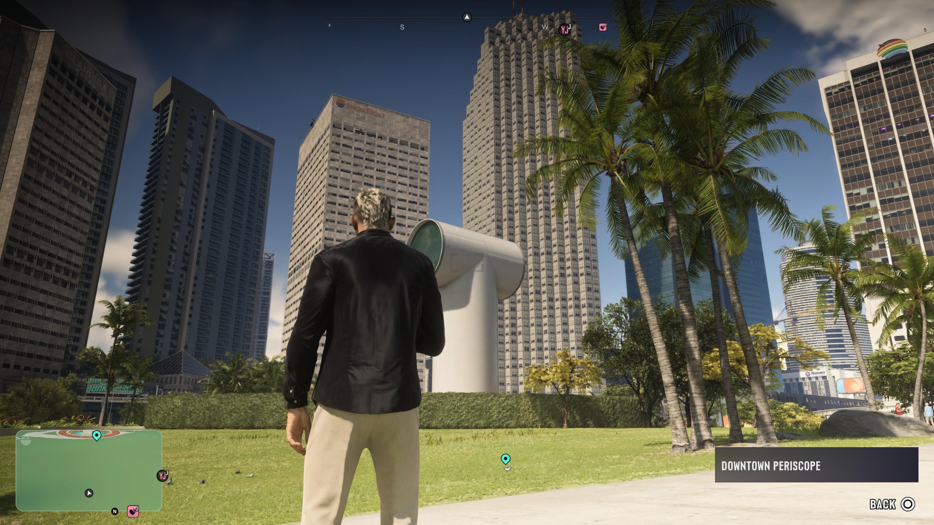
Map reference. South of IAA's Friends of Freedom.
Scan target. Look for the large white periscope-shaped installation in the park near Catalan Boulevard.
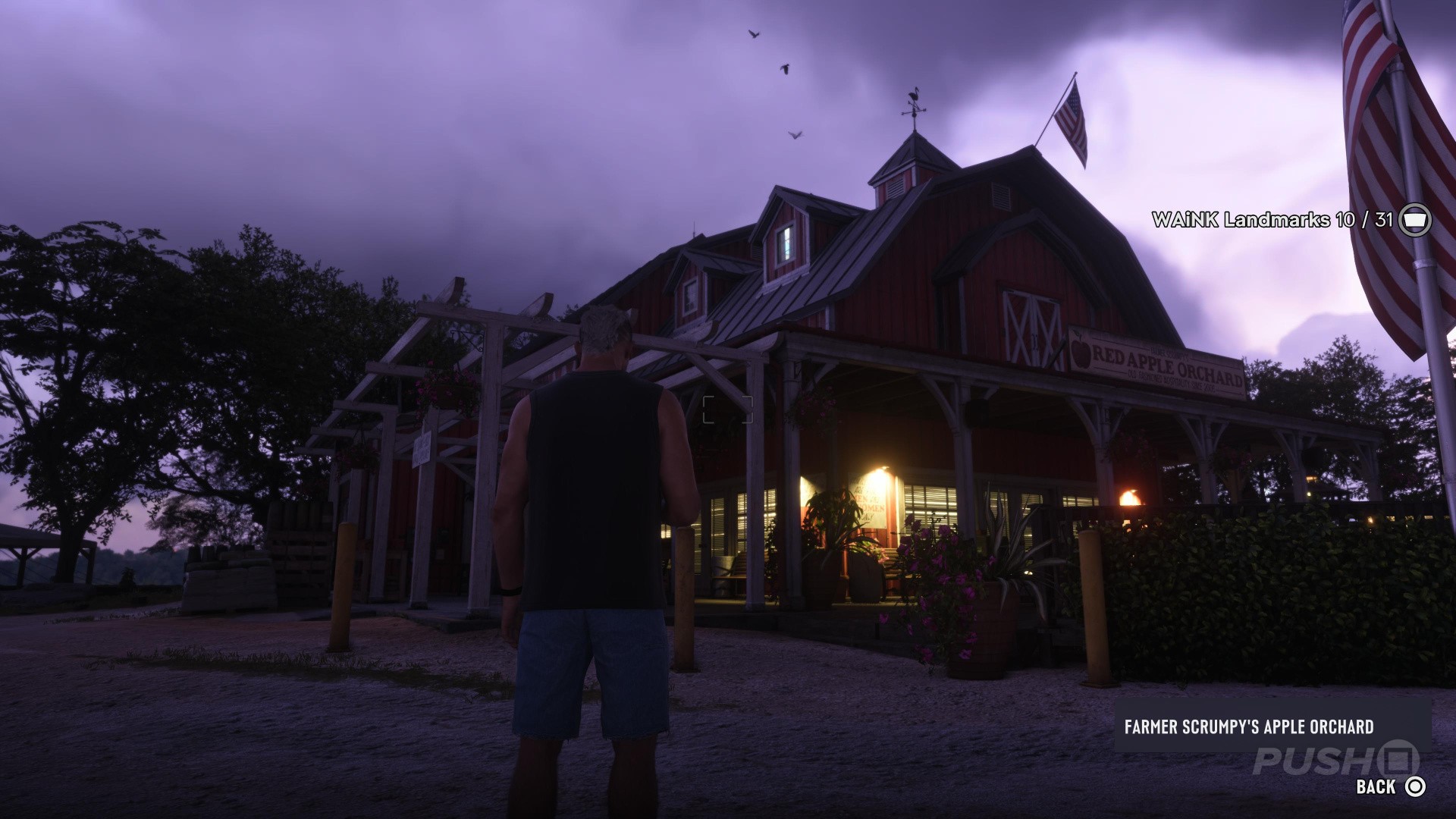
Farmer Scrumpy's Apple Orchard
Map reference. West of Hoffman Observatory.
Scan target. Frame the main orchard building on the hill among the apple trees in Manifest Canyon.
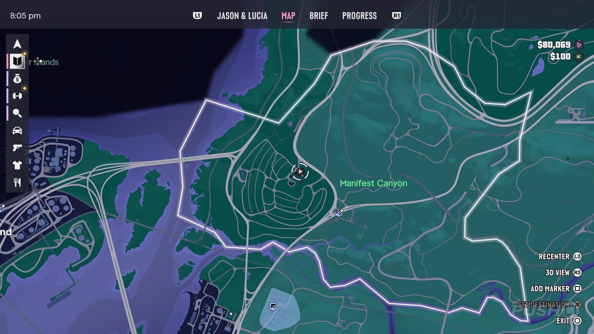
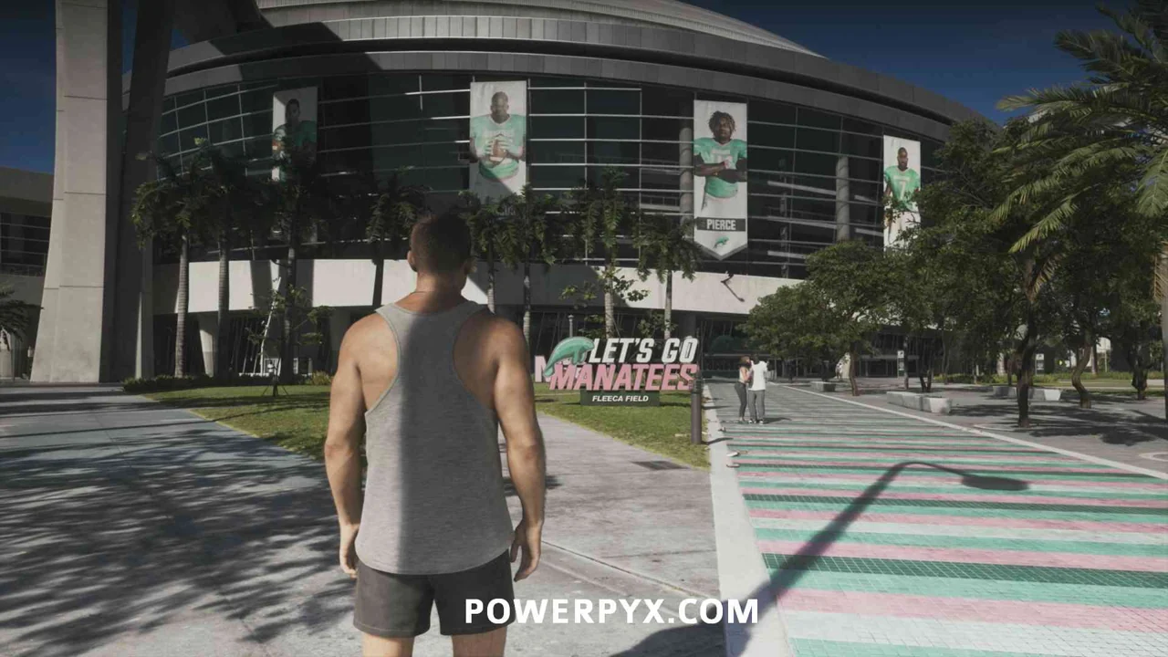
Fleeca Field
Map reference. Northwest of Sahara Arena.
Scan target. Frame the stadium in western Rockridge from outside the grounds.
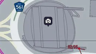
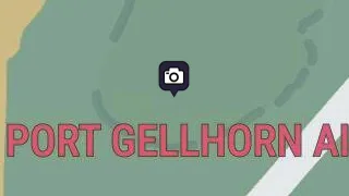
Gellhorn Fun Fair
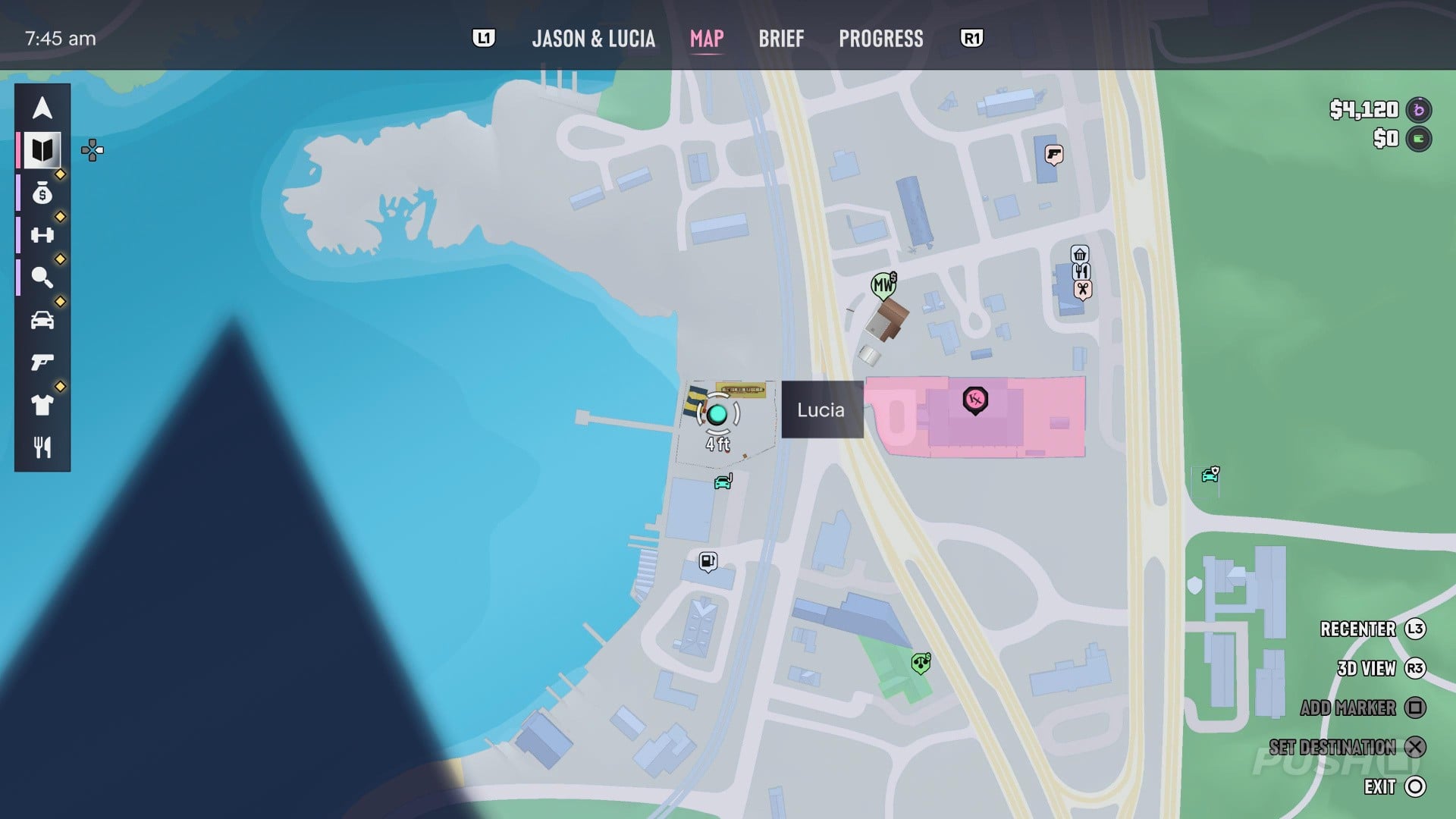
Map reference. East of Wild Hog Point Radar Base.
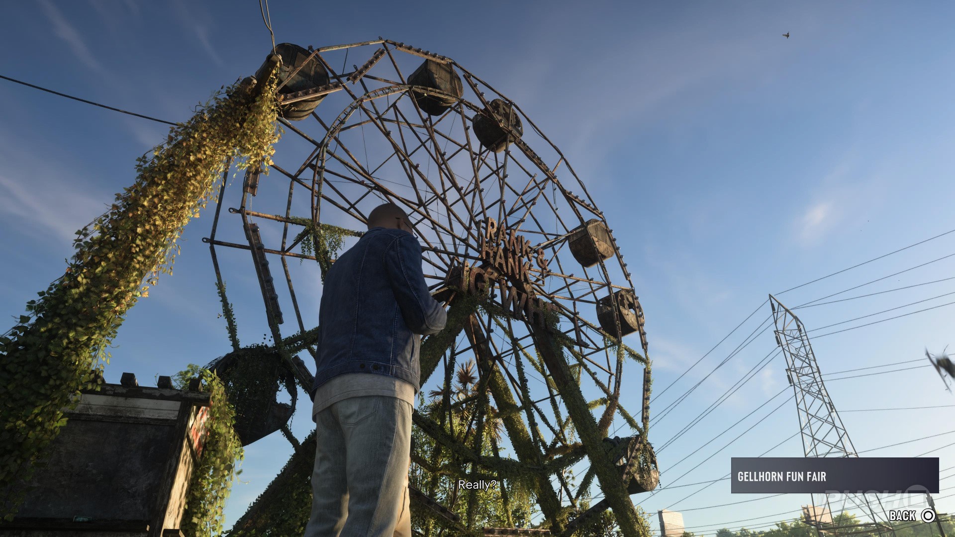
Scan target. On Shore Drive, face the abandoned Ferris wheel. Look for its bare metal frame above the fairground.
Grayson Cairns
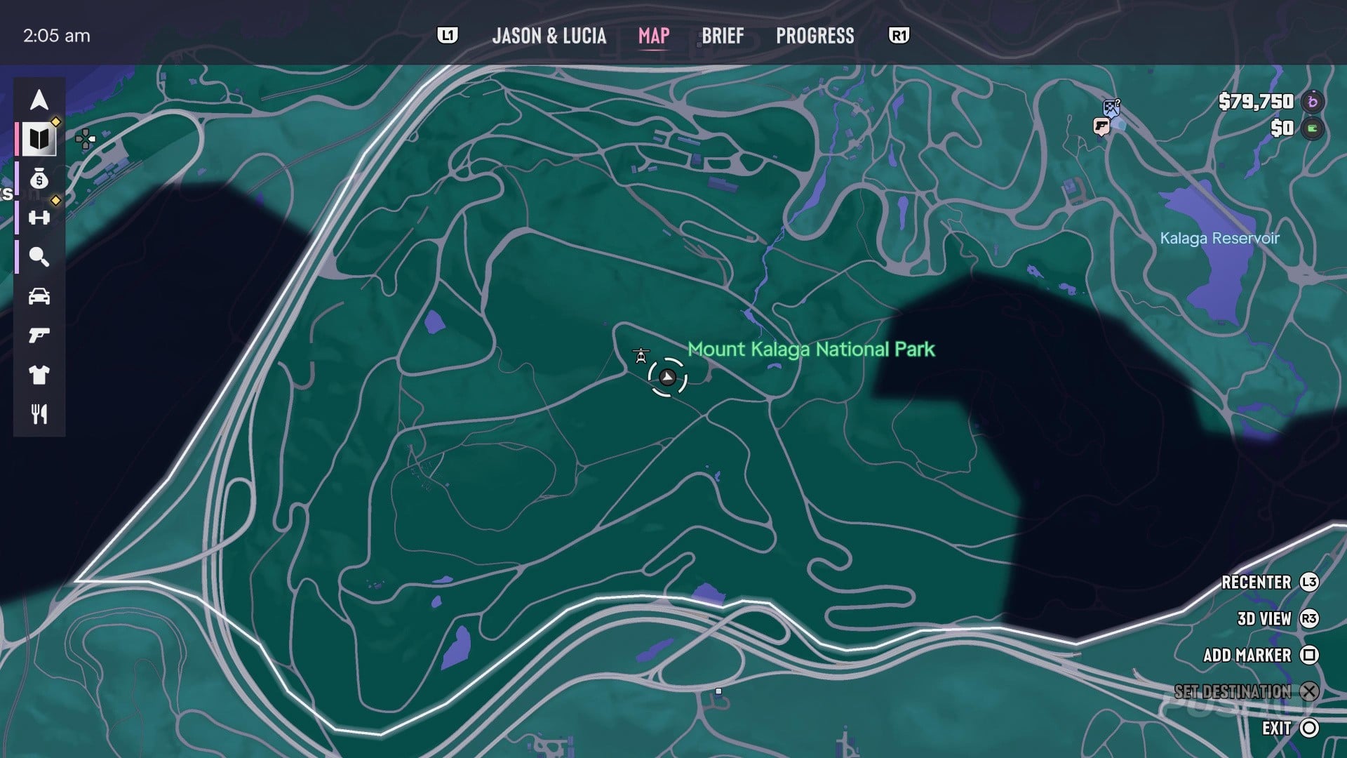
Map reference. Southwest of Kalaga Lookout.
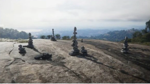
Scan target. Find the hill enclosed by four side roads in Mount Kalaga National Park. Climb to the bare rock at its summit and point WAiNK at the upright stacks of balanced stones.
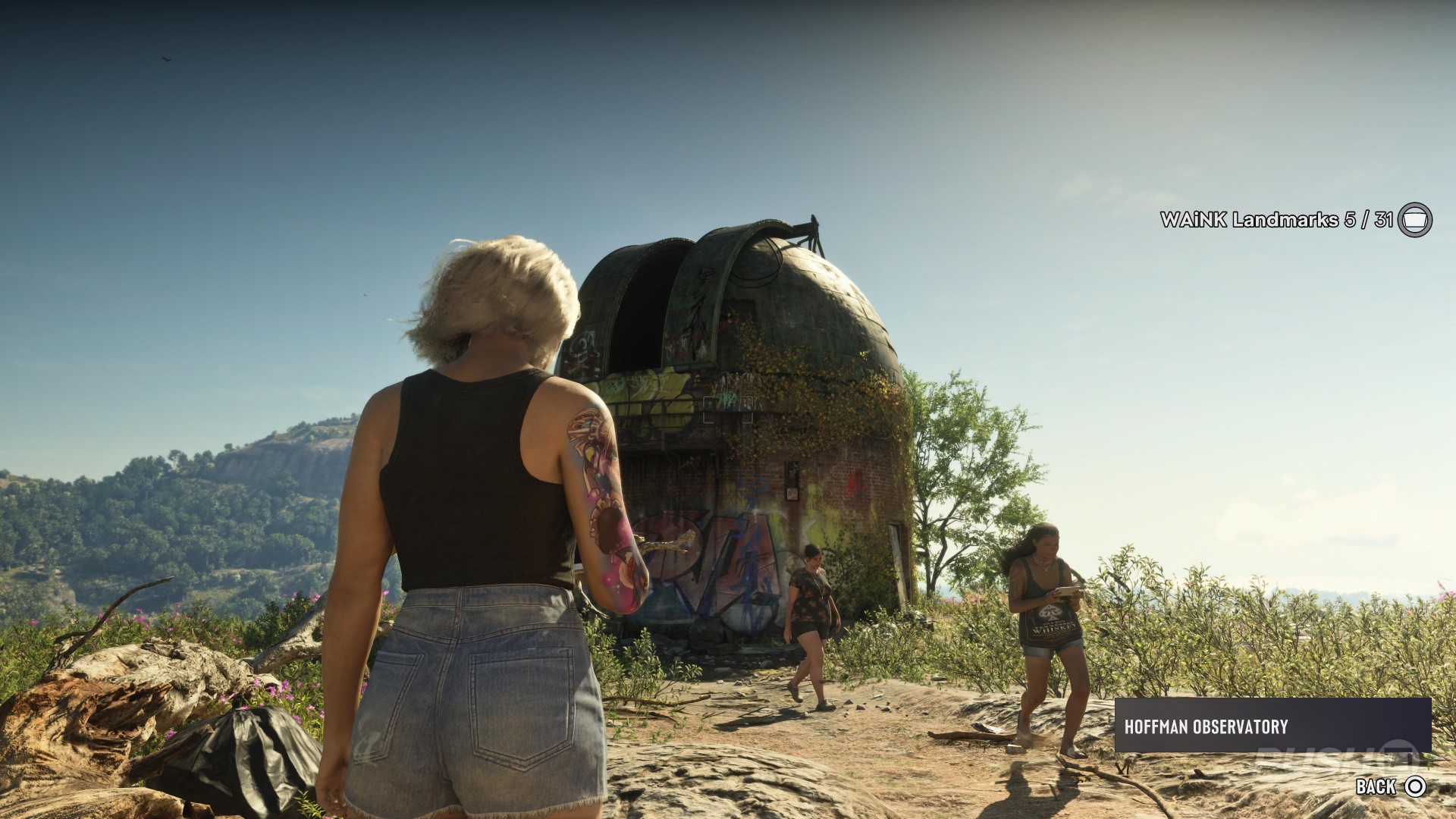
Hoffman Observatory
Map reference. South of Grayson Cairns.
Scan target. Aim at the domed observatory building on the hill in western North Kelly County.
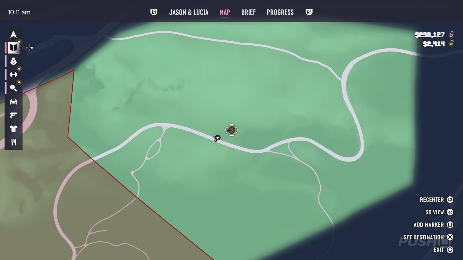
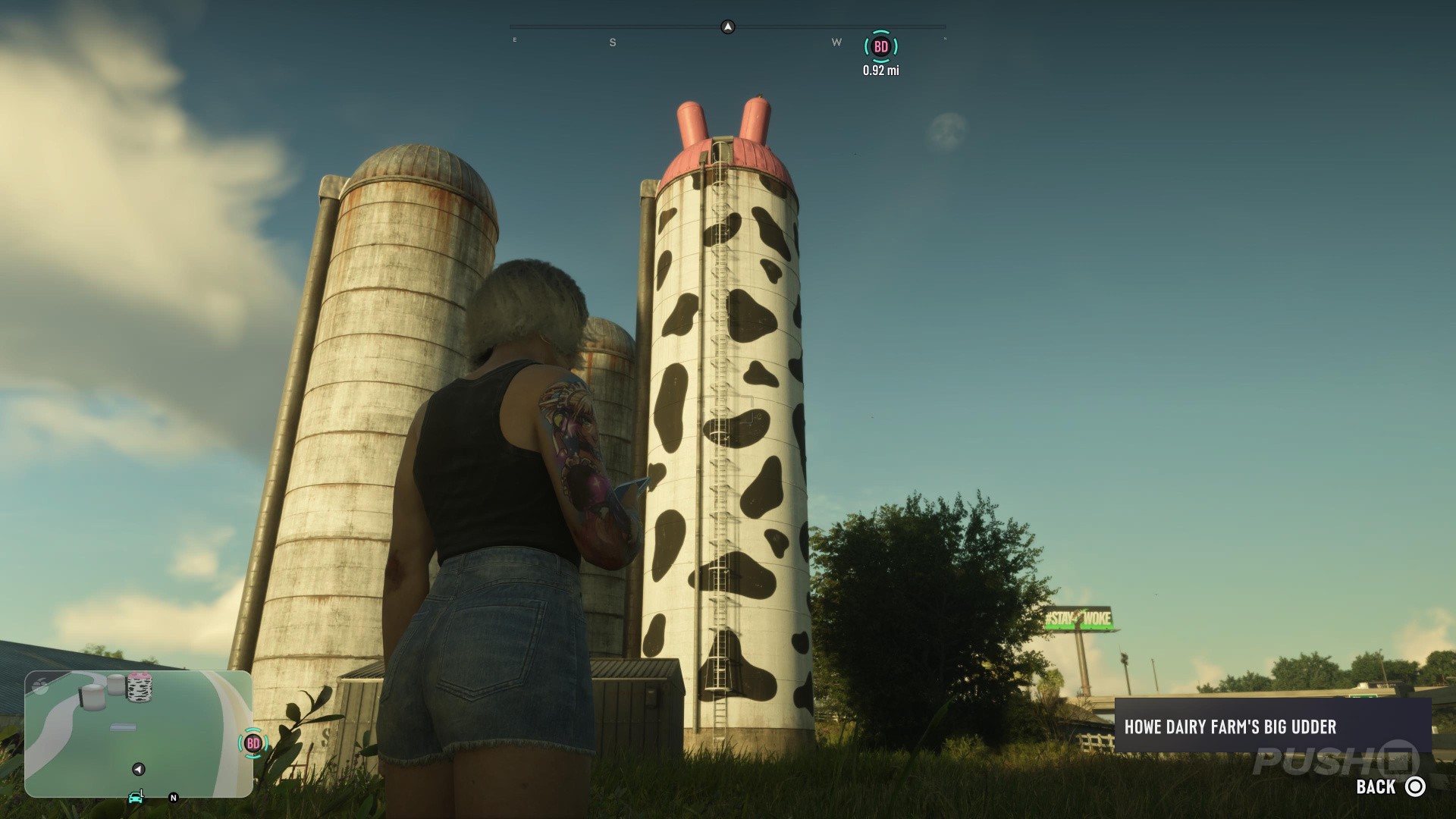
Howe Dairy Farm's Big Udder
Map reference. Northwest of Sky Ride.
Scan target. Scan the tall cow-patterned silo with the pink udders at the top.
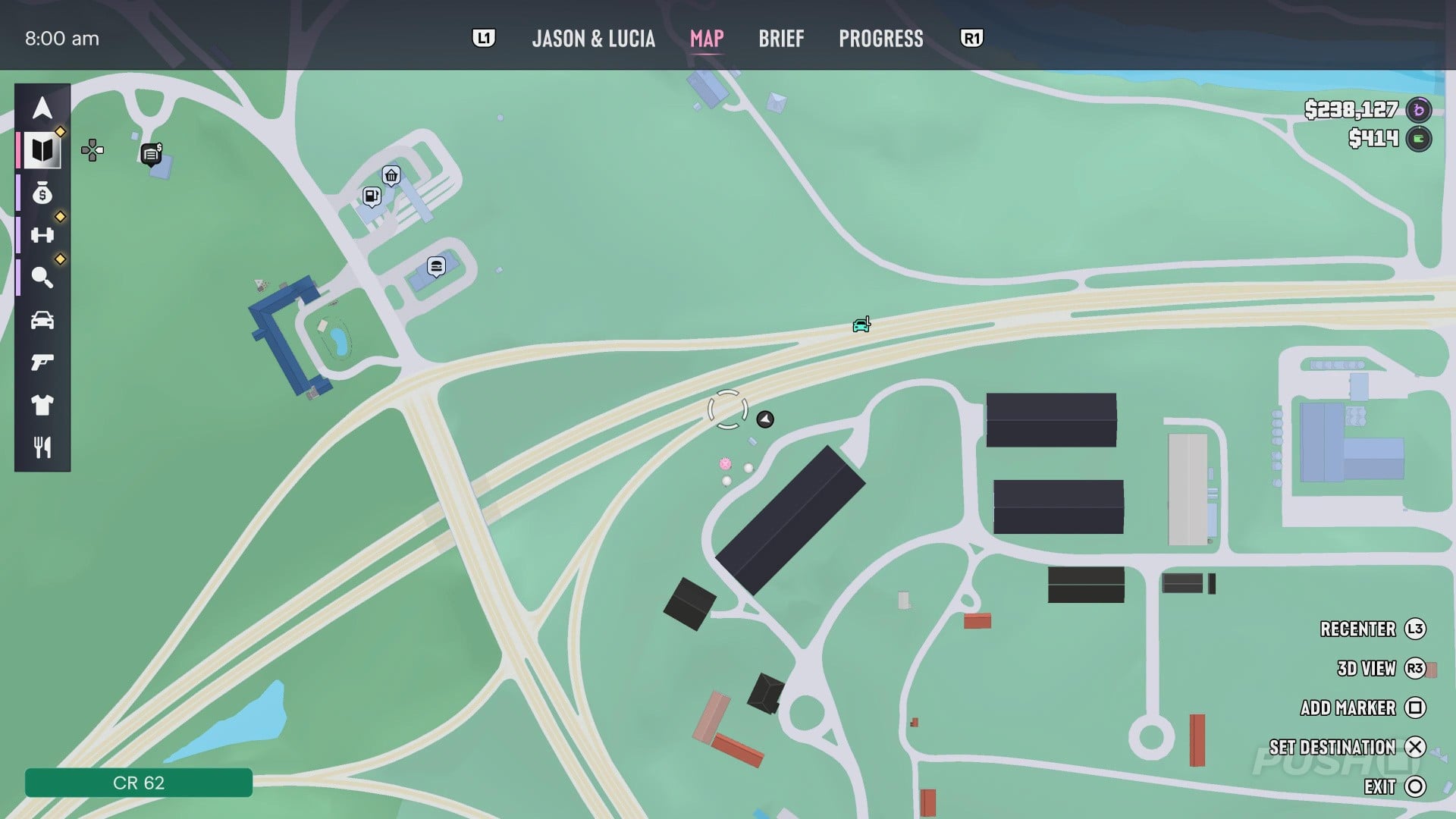
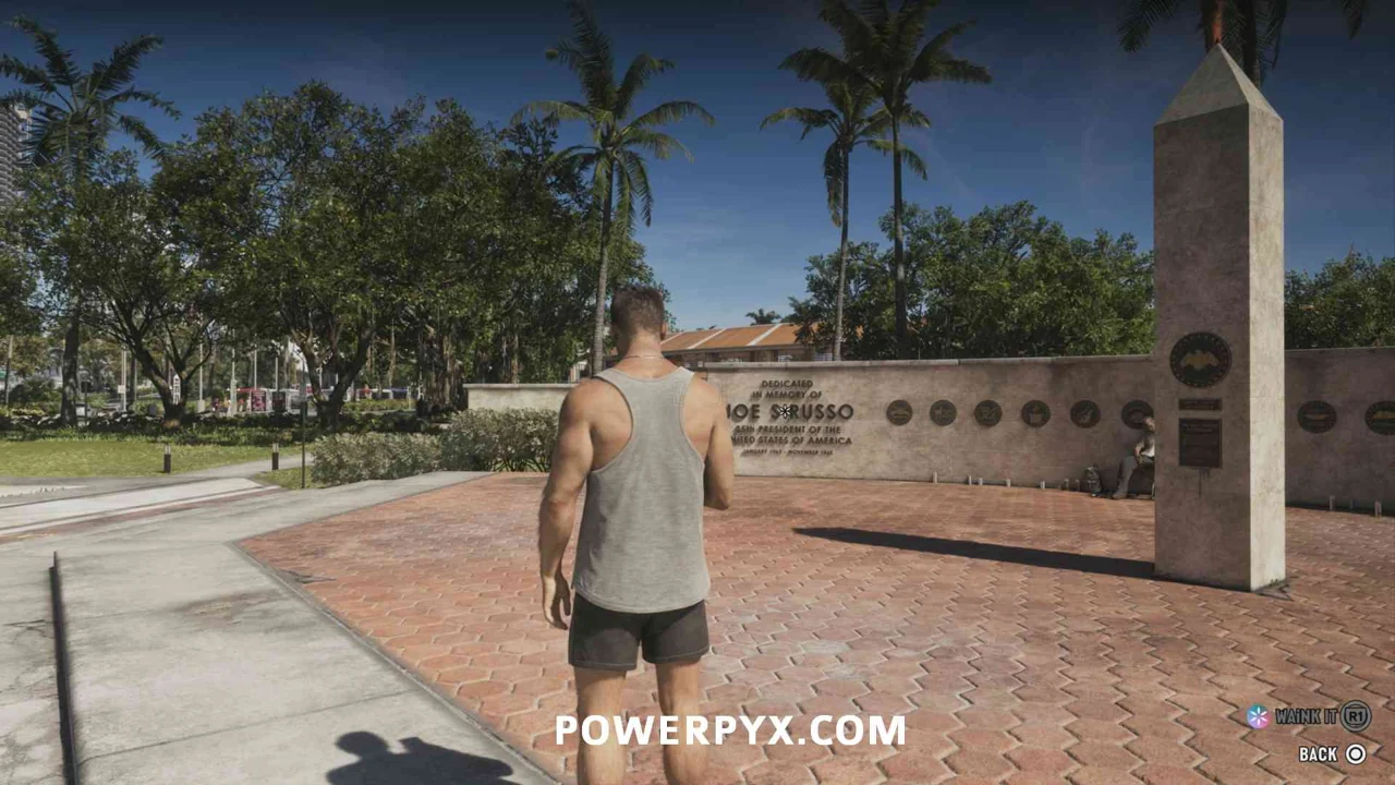
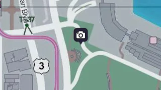
IAA's Friends of Freedom
Map reference. North of Downtown Periscope.
Scan target. Find the memorial wall listing allied countries in the Downtown park. Aim at the wall.
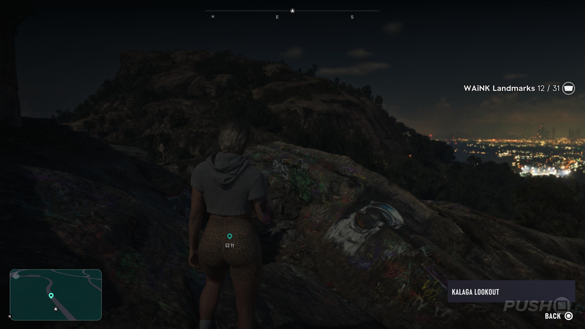
Kalaga Lookout
Map reference. Northeast of Grayson Cairns.
Scan target. Find the astronaut painting on the rock below the lookout ruins. Scan the painted surface.
Lawton Co. Paper Mill
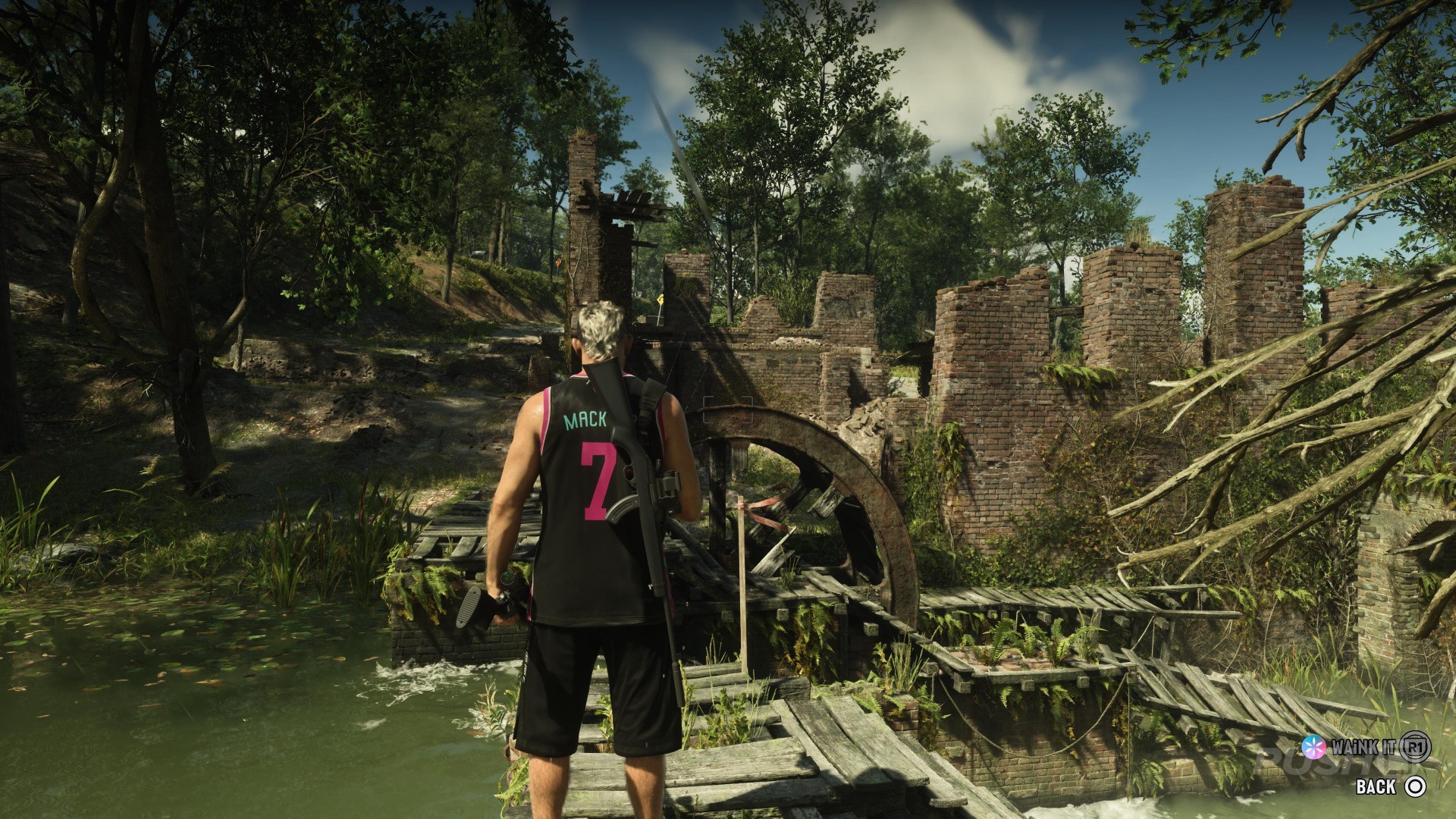
Map reference. South of Bonanza Giant.
Scan target. Aim at the ruined mill buildings beside Adler Creek, north of the West Kalaga gas station.
Old Goliath
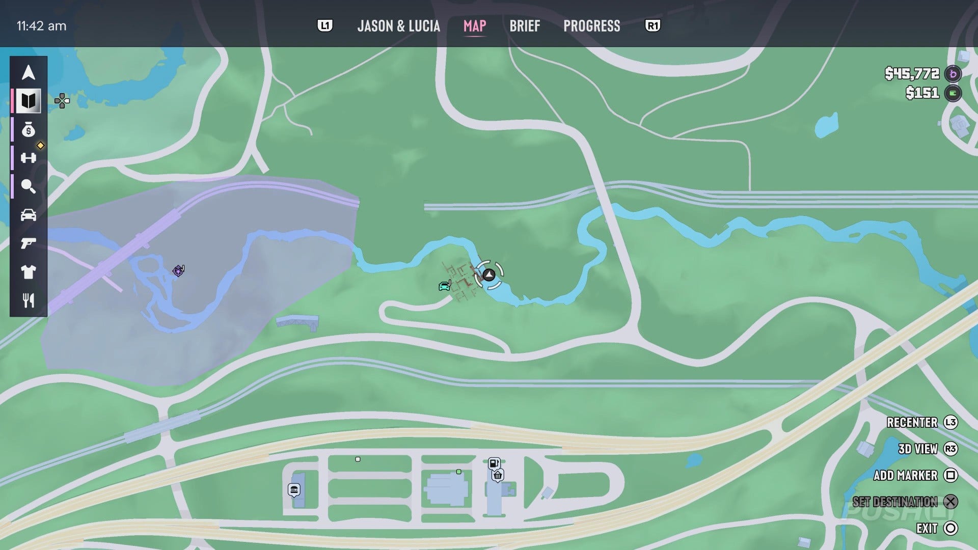
Map reference. Northeast of Tucker's Citrus Farms Water Tower.
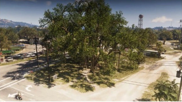
Scan target. Head to Magnolia Road and Sycamore Avenue in northwestern Ambrosia. From across the junction, look for the giant tree spreading over the corner lot. Face its trunk to scan Old Goliath.
Outlaw's Cabin
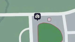
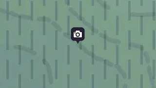
Map reference. East of Bonanza Giant.
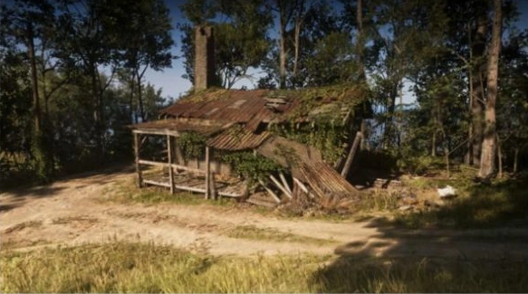
Scan target. In central Moreau, take the mountain side road off Rockledge Road. Look for a cabin with a tall chimney and a rusted roof sagging over the porch. Face the cabin from the dirt clearing and scan it with WAiNK.
Pelican Valley Observation Tower
Map reference. South of Vice City Sign.
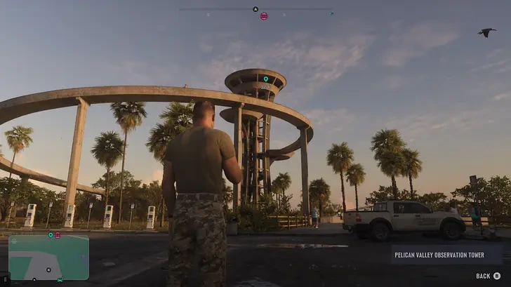
Scan target. Turn off Sweetbay Road in eastern Grassrivers. From the parking area, look for a broad circular ramp wrapping around a tall central lookout. Aim WAiNK at the observation tower.
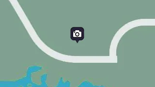
Riquezas Keys Radome
Map reference. West of Derelict Spy Vessel.
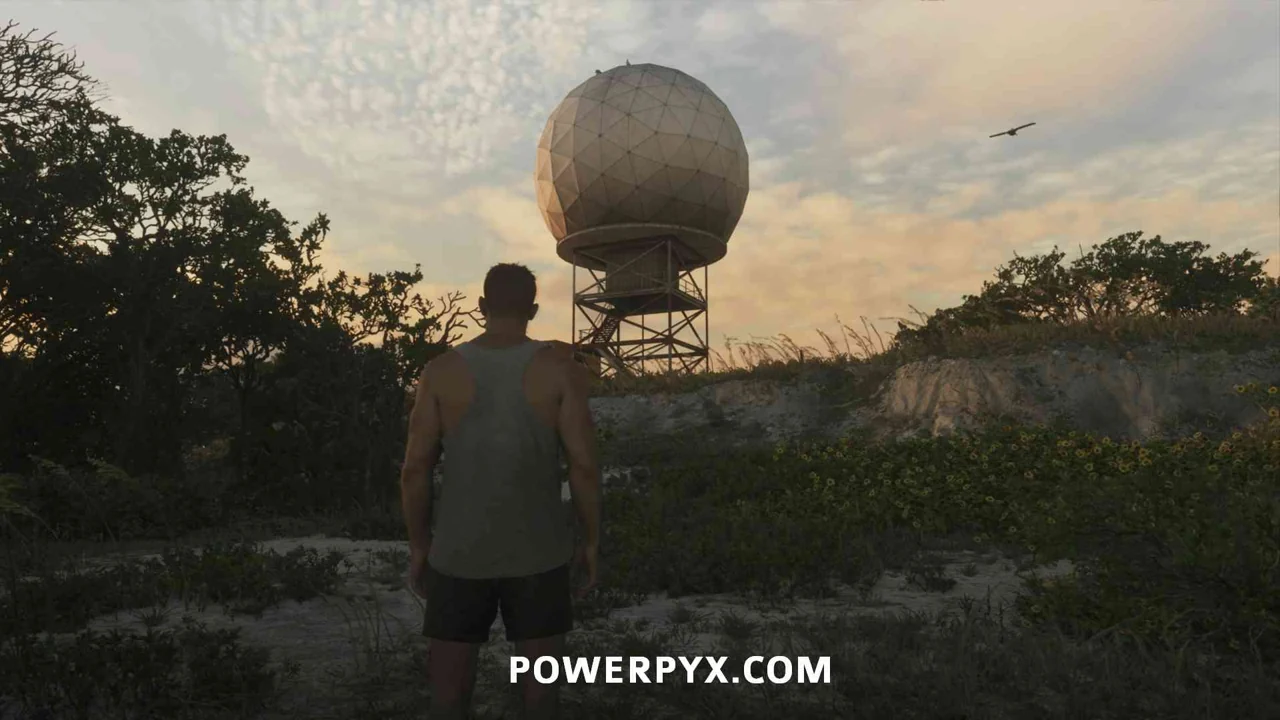
Scan target. Frame the large radar dome at the facility on the southwestern Riquezas Keys island.
Sahara Arena
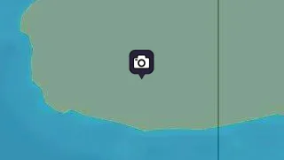
Map reference. Northwest of Dock Ring.
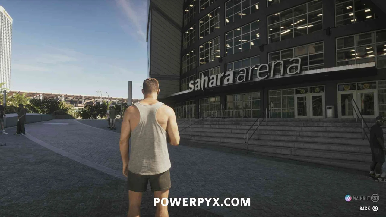
Scan target. Scan the exterior of the Narcos basketball arena in Downtown Vice City.
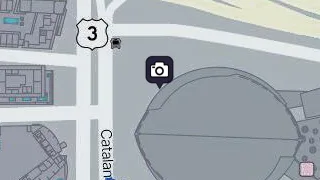
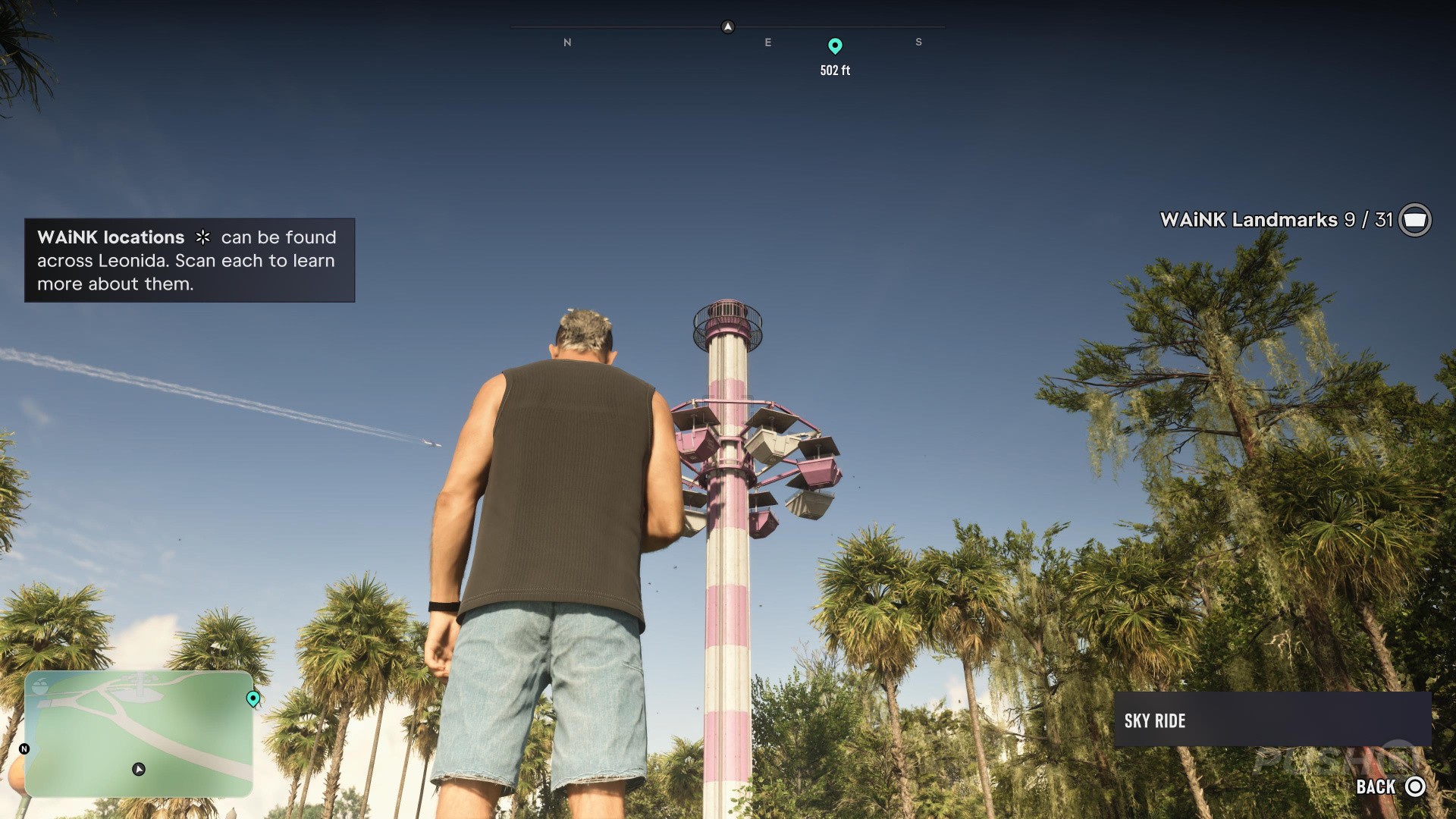
Sky Ride
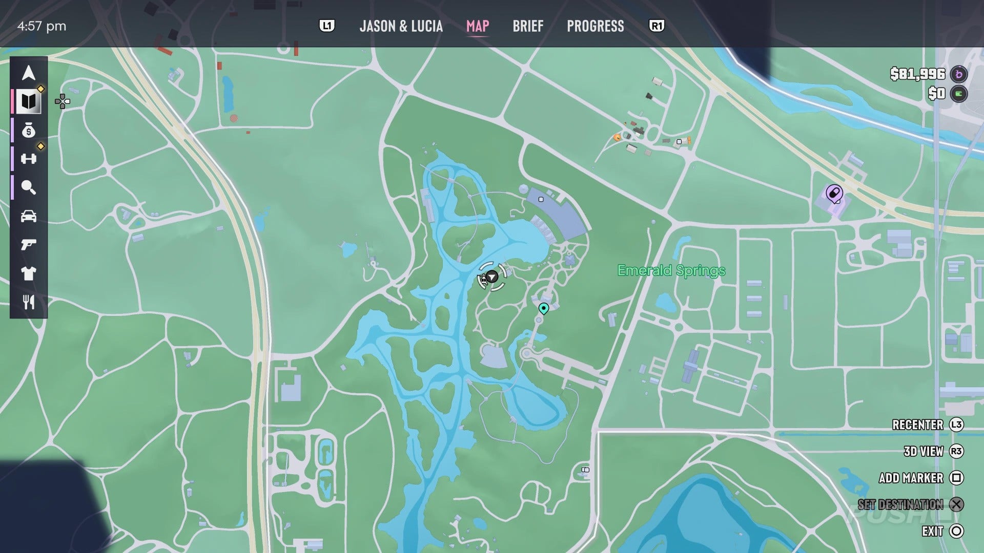
Map reference. Southwest of Tucker's Citrus Farms Water Tower.
Scan target. Aim up at the tall amusement ride east of the Emerald River. Its suspended seats stand above the trees.
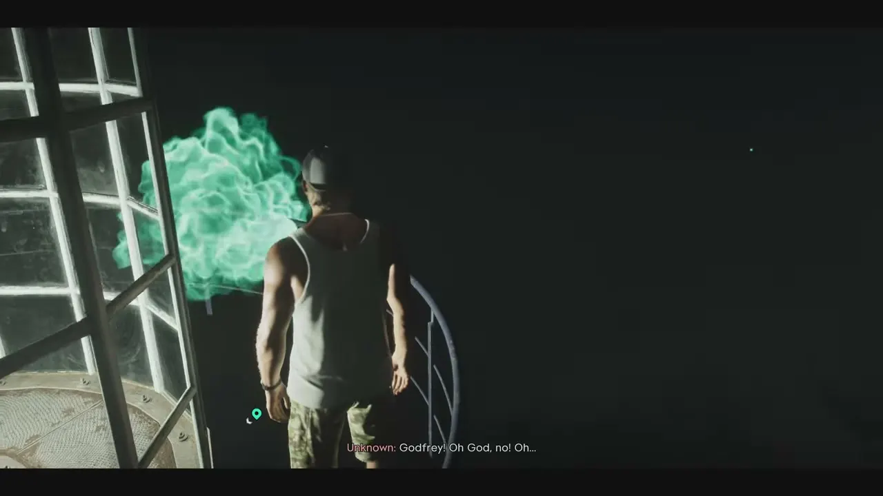
St. Lucia Lighthouse
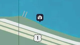
Map reference. Northeast of Unidentified Building.
Scan target. Go to the northern tip of Little Hardin Island. Stay at ground level and point WAiNK at the sign at the foot of the lighthouse. The night view shows the lantern room above this spot.
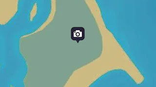
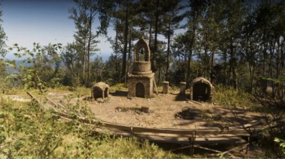
Tallaloko Amphitheater
Map reference. Southeast of Outlaw's Cabin.
Scan target. Enter the ruined amphitheater in eastern Mount Kalaga National Park. Face the stage from the curved rows of seats and aim WAiNK at the central structure that houses the bell.
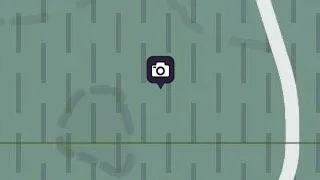
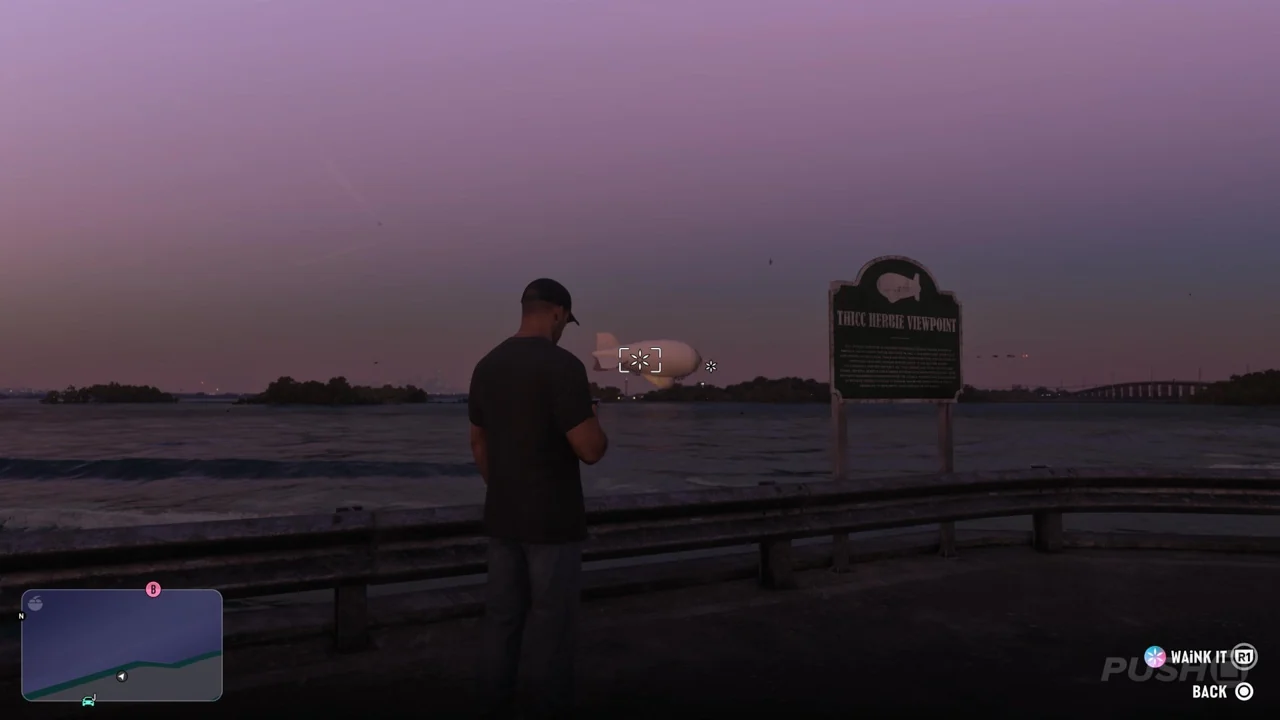
Thicc Herbie
Map reference. Southeast of Derelict Spy Vessel.
Scan target. Look toward Maroon Key from the Sunbelt Highway on Abismo Key and aim up at the moored blimp.
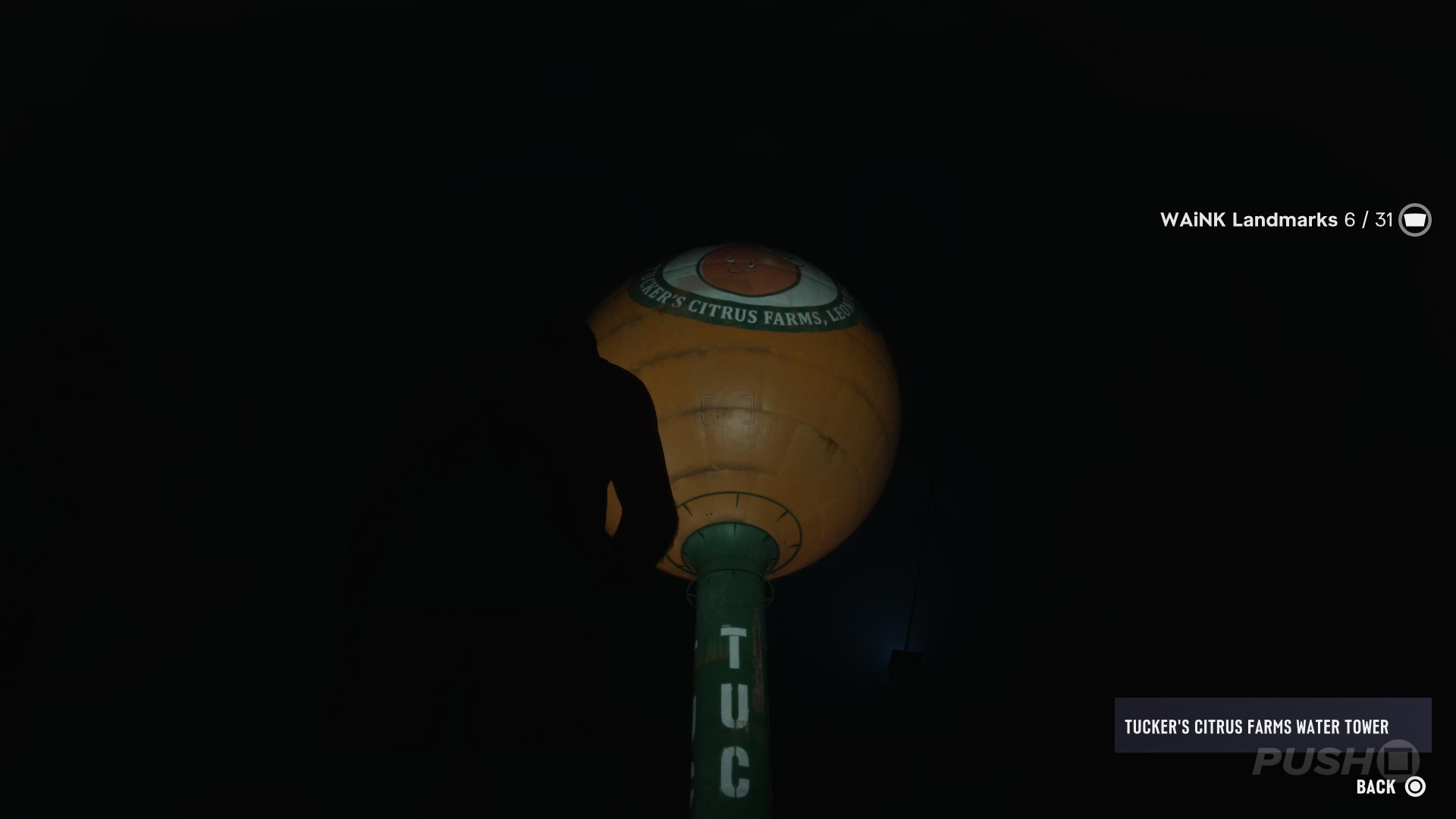
Tucker's Citrus Farms Water Tower
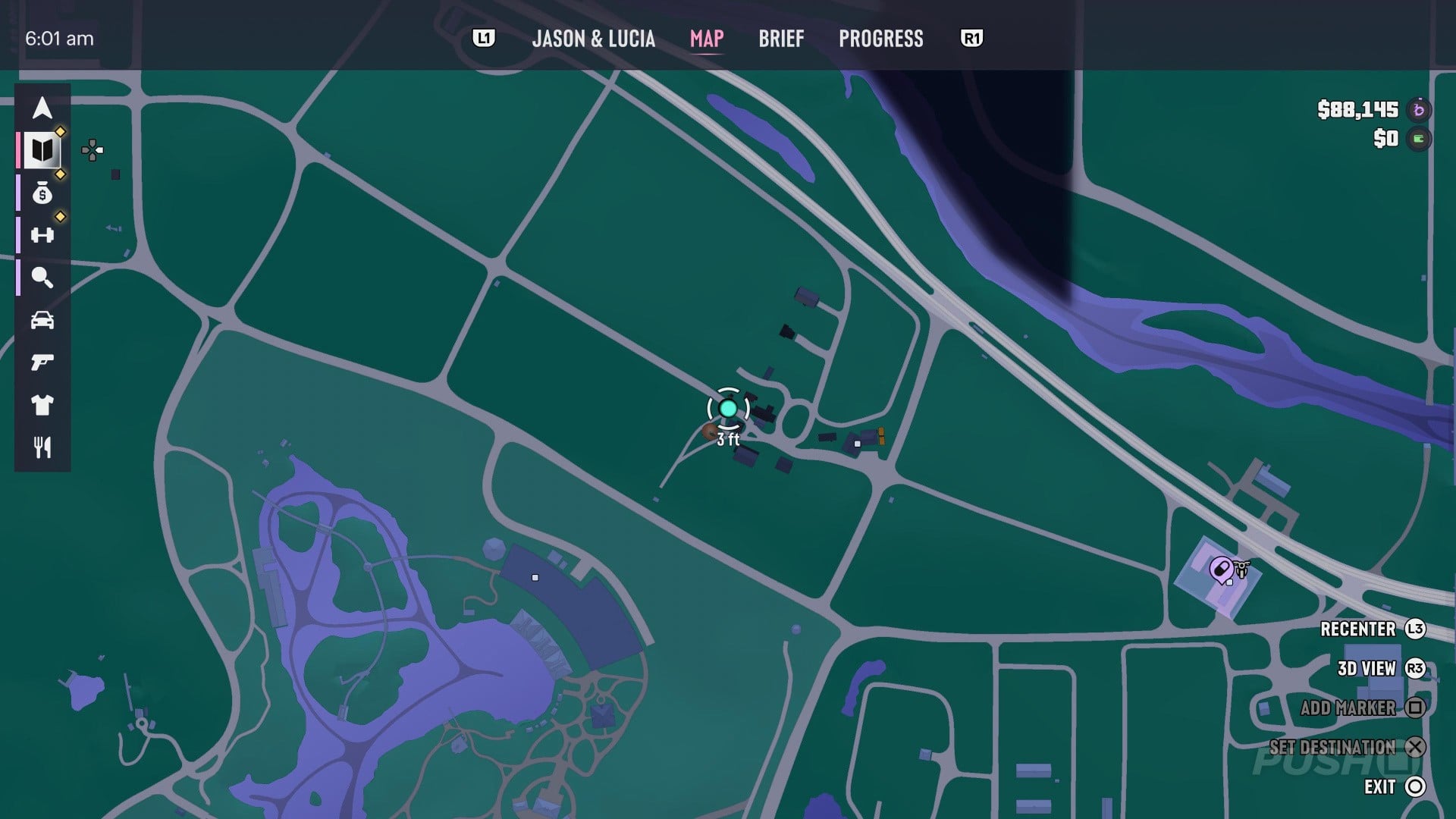
Map reference. Northeast of Sky Ride.
Scan target. Look up at the orange-shaped water tank over the citrus farm in Emerald Springs.
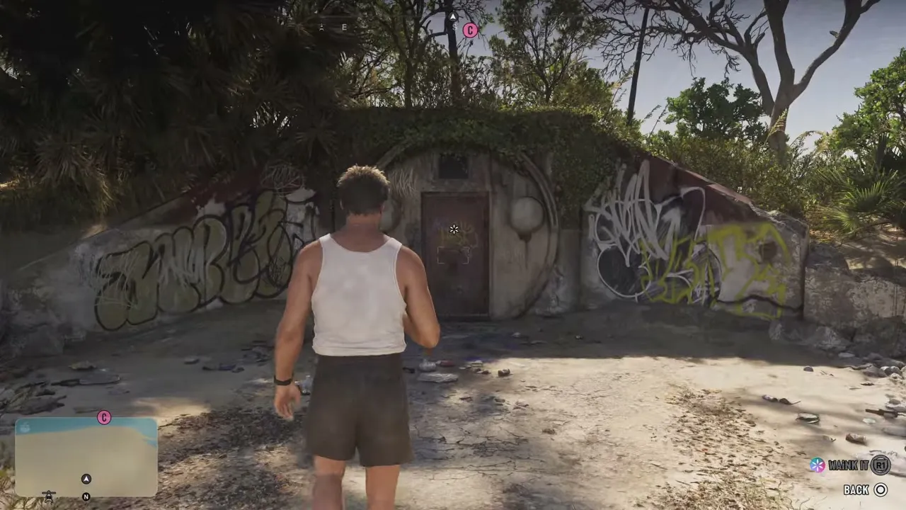
Unidentified Building
Map reference. Southwest of St. Lucia Lighthouse.
Scan target. Land on the sandy islet just south of Little Hardin Island. Look for a low concrete bunker set into the bank, with graffiti on both sides. Face the rusted steel door in the middle and scan it with WAiNK.
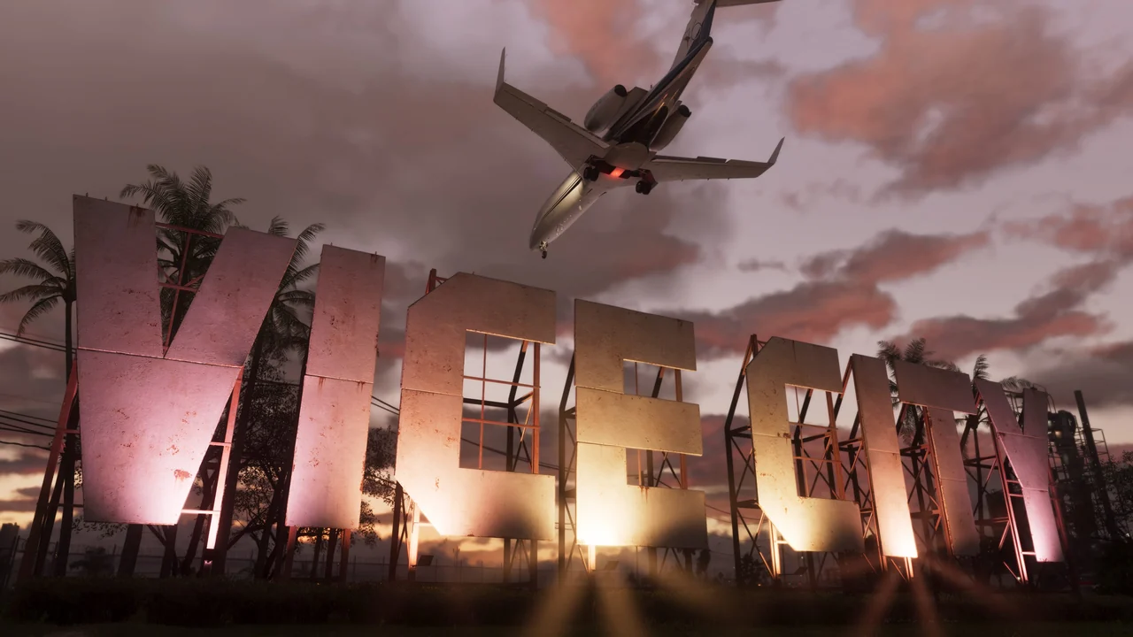
Vice City Sign
Map reference. North of Pelican Valley Observation Tower.
Scan target. Point the phone at the large Vice City lettering between Three Toe Lake and the airport.
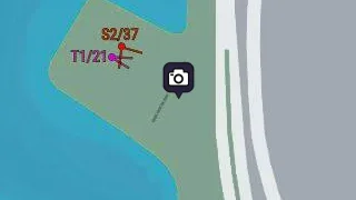
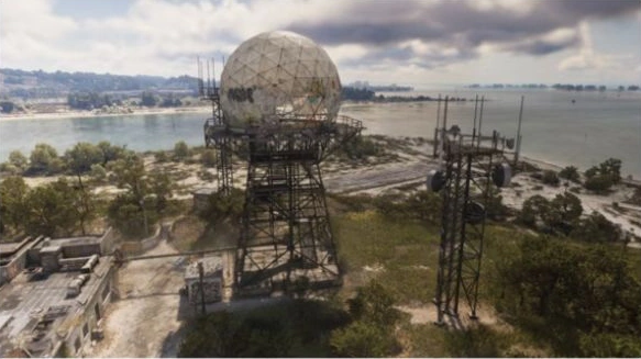
Wild Hog Point Radar Base
Map reference. West of Gellhorn Fun Fair.
Scan target. At the Wild Hog Point airfield west of Port Gellhorn, look toward the shore. Two steel towers stand side by side. Aim WAiNK at the large round dome on the wider tower.
More WAiNK scans: Curiosities · Sculptures